Precision Drone Infrastructure Inspection
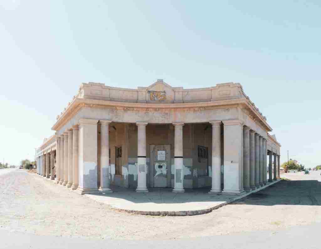
Drone Infrastructure Inspection Services in Primera, TX, by 360 Drone deliver detailed and efficient valuations for bridges, towers, and pipelines, ensuring safety and reliability.
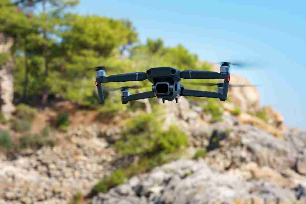
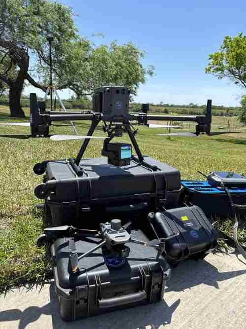
Unlock Precision with Drone Mapping
Our drone mapping solutions provide high-quality aerial data to enhance project efficiency and accuracy. We offer innovative technology that helps you make informed decisions faster and more cost-effectively.
Our Services
Infrastructure Inspection
Perform safe, detailed inspections of critical structures with high-resolution drone imaging, reducing risks and enhancing efficiency.
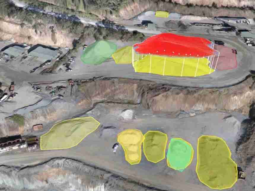
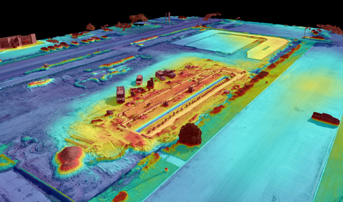
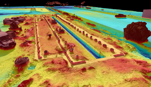
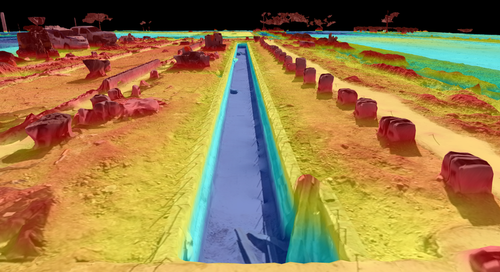
Volumetric Cut & Fill Analysis
Streamline earthwork management with highly accurate cut-and-fill volume calculations, saving time and resources.

Real Estate Photography &Videography
Showcase properties with high-resolution aerial images and dynamic videos that captivate buyers

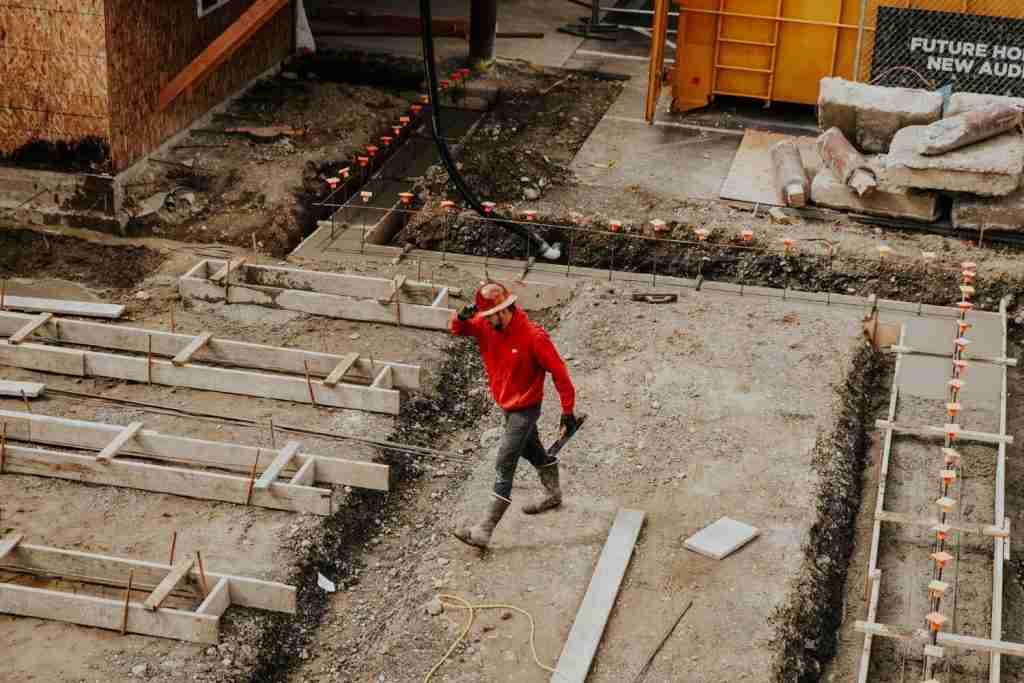
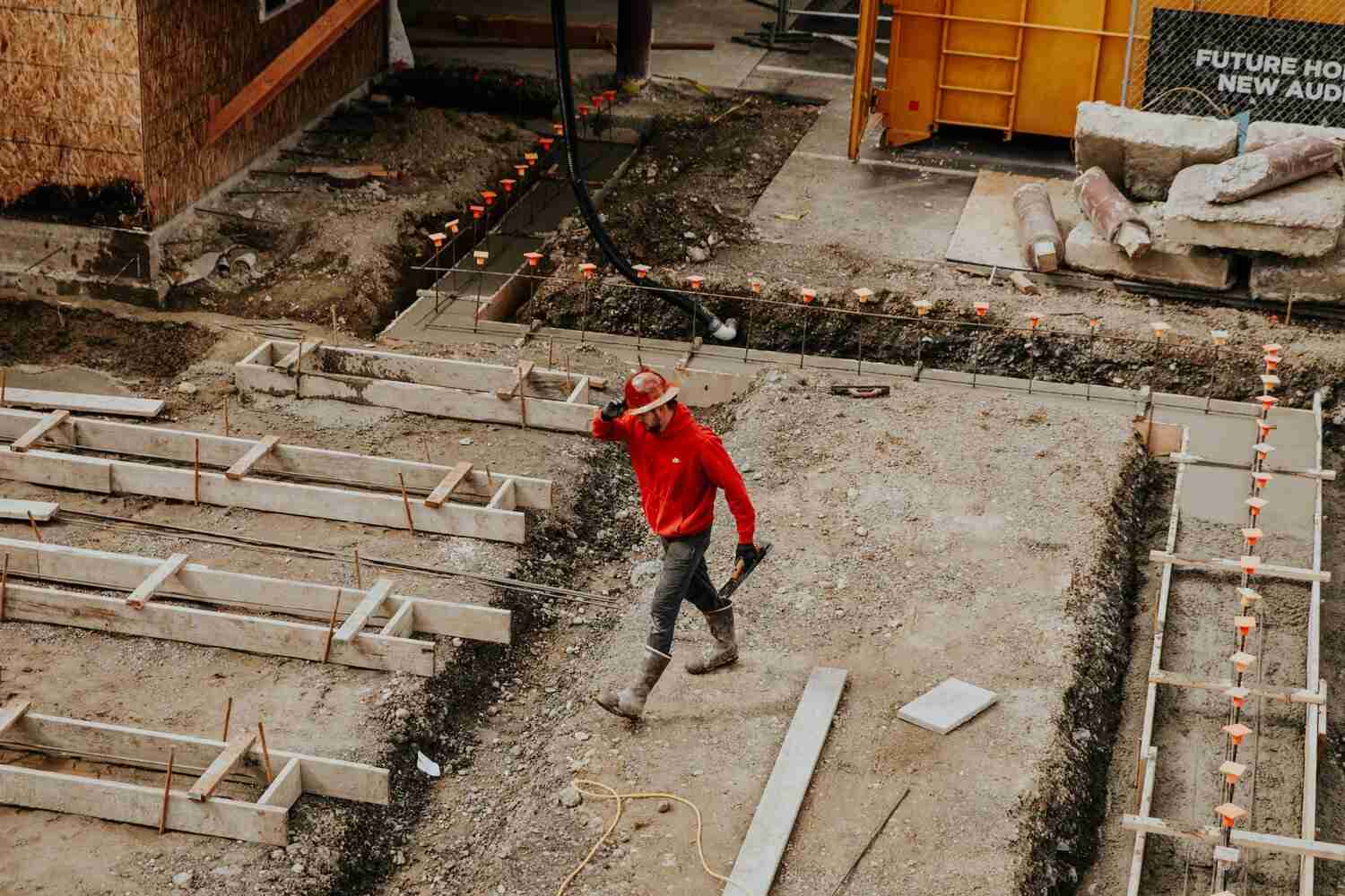
Construction Progression
Track project milestones with precise aerial updates, ensuring timelines and goals are consistently met.
Elevate Your Vision with Drone Mapping
Clear, Detailed Imagery
Obtain sharp, high-quality visuals for precise analysis.
Fast Data Capture
Accelerate project timelines with efficient aerial data collection.
Needs Any Helps Or Supports
Don’t Hesitate, Contact Us For Better Help & Services.
Make An Appointment
Schedule an appointment with us today for expert guidance. We’re here to assist you every step of the way!
About Company
At 360 Drone Mapping, we provide innovative aerial solutions to help businesses capture, analyze, and visualize data with precision and efficiency.
Proudly Serving These Areas
Contact Us
- (956) 873-3524
- Scot@360DroneMapping.com
- Middle East, London
Copyright © 2024 360 Drone Mapping , All rights reserved.